

December 4, 2025
Imagine waking up to Kachemak Bay views and stepping outside to salty air and seabirds. Buying waterfront in Homer can deliver that dream, but the shoreline here comes with unique rules, risks, and logistics. If you understand who owns what at the water’s edge, how moorage works, which permits you may need, and what hazards to plan for, you can move forward with confidence. This guide walks you through the essentials specific to Homer and the lower Kenai Peninsula so you can evaluate properties like a pro. Let’s dive in.
When a listing says “waterfront” in Homer, it can mean several things. In Alaska, private ownership usually extends to the mean high water line, while the state manages tidelands below that point. That boundary is not always obvious on paper, so you should confirm it on the ground.
The mean high water line is often the legal edge of private ownership. A surveyor experienced with tidal boundaries can locate and map it.
Fee-simple upland parcels may front the water to that line, but the tidelands below are commonly state-managed.
Some properties rely on recorded easements for access to the shore or community docks.
Docks, ramps, and floats that sit on tidelands often require a state tideland lease or authorization, which may have fees and transfer conditions.
View lots may not reach the tidal boundary at all. They offer scenery but may lack direct shore access unless an easement exists.
Bottom line: Start by verifying where the legal boundary lies, what you actually own, and how you are allowed to access and use the shoreline.
Legal access, physical access, and moorage are separate issues. Make sure you confirm all three before you fall in love with a property.
Legal access: Look for recorded easements, rights-of-way, or public access dedications. Confirm they are current and enforceable.
Physical access: Homer’s bluffs can be steep. Check for safe trails, stairs, parking, and seasonal limitations like ice or storm debris.
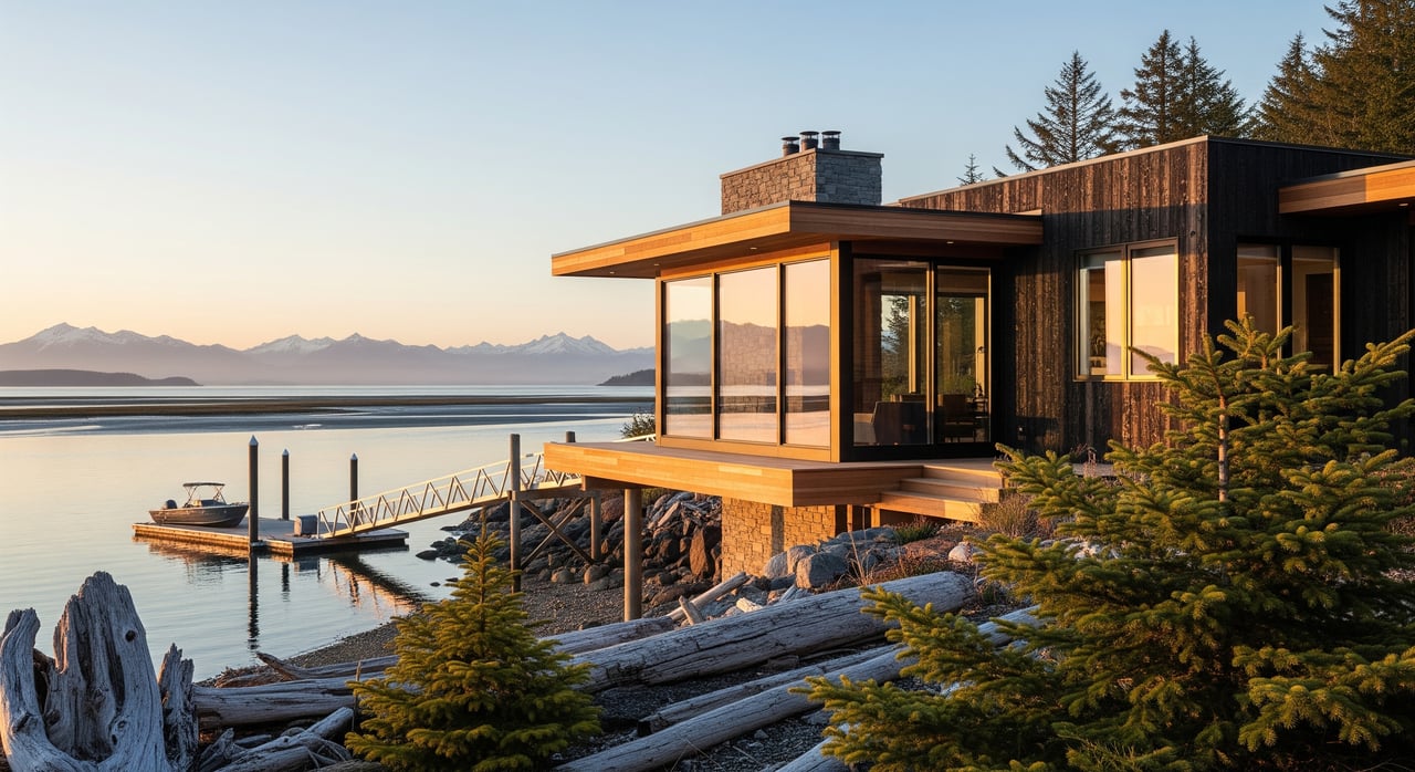
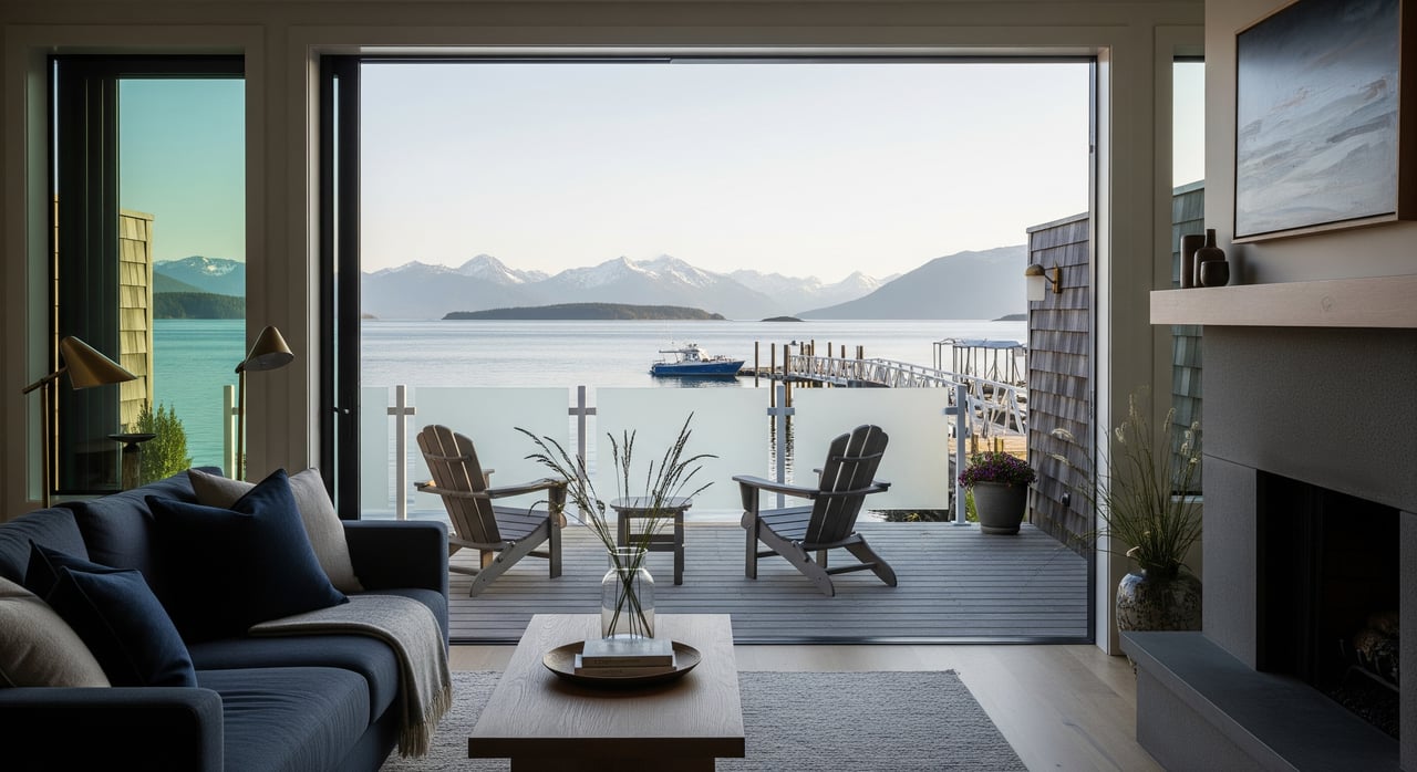
Moorage: The City of Homer operates the Small Boat Harbor with public slips. Private slips or shared docks may exist by recorded agreement. Ask about waitlists, fees, transfer rules, winter storage, and maintenance responsibilities.
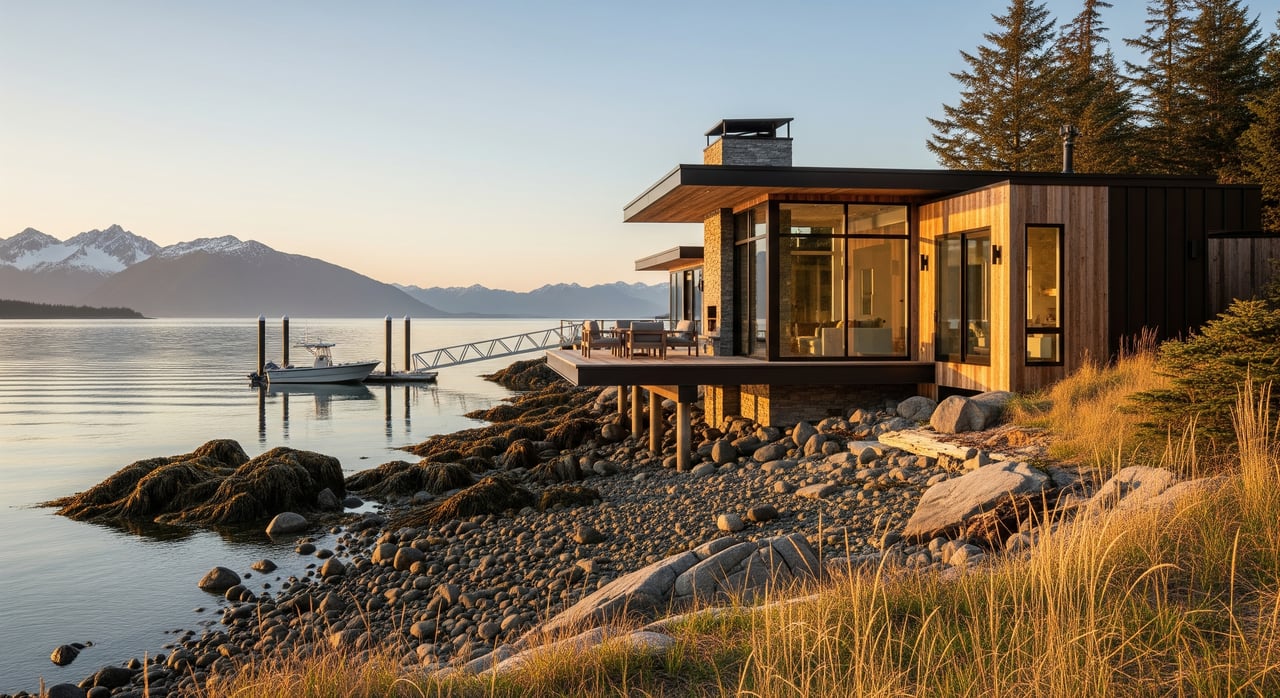
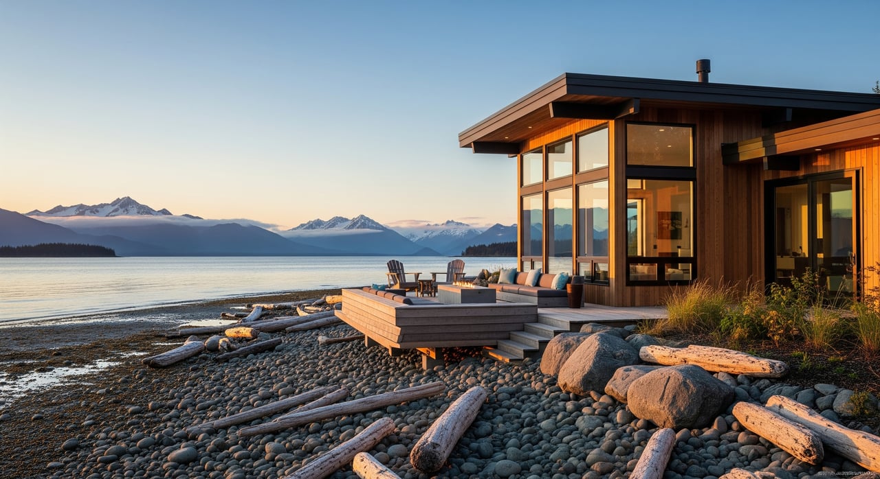
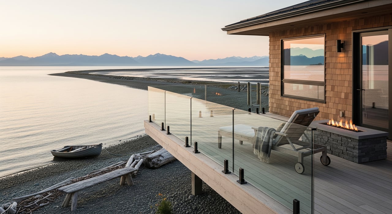
Bluff-top homes deliver sweeping views and a quieter setting, but they demand careful due diligence.
Pros: Panoramic vistas, reduced direct wave exposure, less marine infrastructure to maintain.
Cons: Erosion and slope stability risks, limited direct shore access, and possible setback limits for new construction.
What to check: A geotechnical or bluff stability assessment, any historical erosion, and recorded setbacks or slope buffers. Also confirm septic feasibility given slopes and drainfield placement.
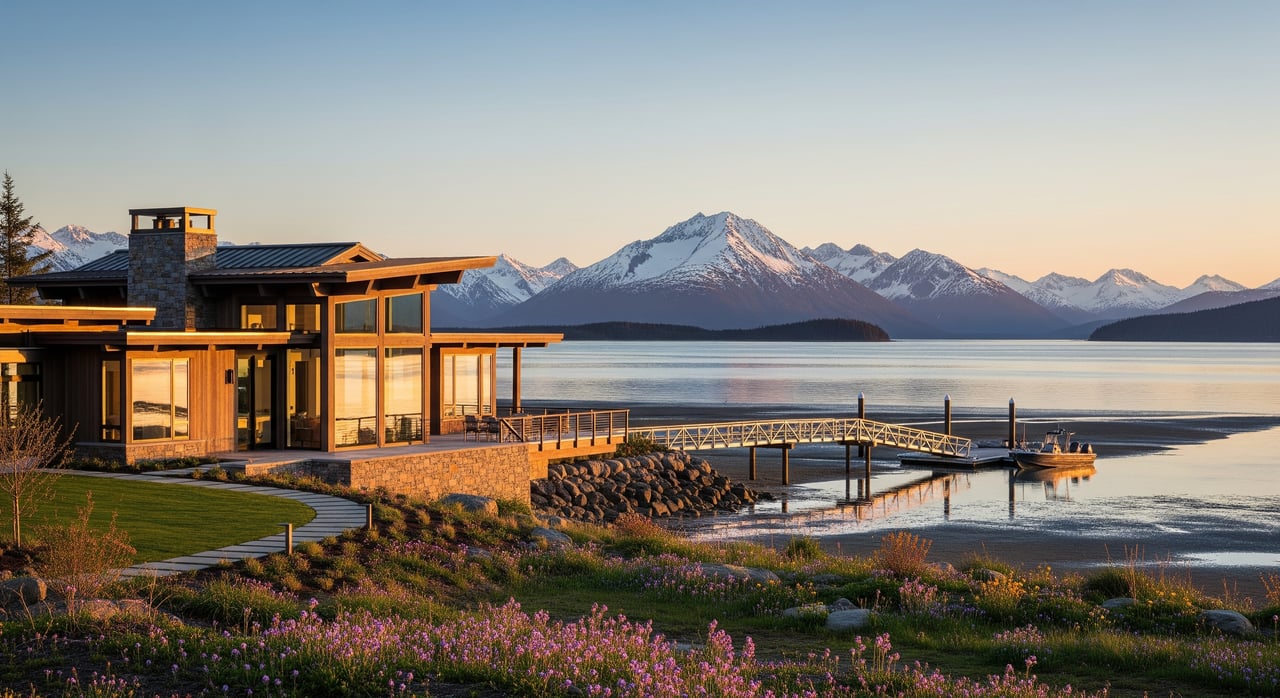
Homes near the harbor or with direct boat access can be ideal for fishing and boating.
Pros: Quick access to the water, potential for private or shared moorage, and convenience for recreation or livelihood.
Cons: More complex permitting for docks and shore structures, potential wake and traffic noise, and increased exposure to storm surges in certain locations.
What to check: Existing permits for any shore structures, slip availability and transferability, required maintenance, and compliance with current standards if you plan to modify or replace a dock.
Waterfront work usually involves multiple agencies. Plan time for reviews and align your project with current standards.
Alaska Department of Natural Resources: Tideland leases or use authorizations for structures on state-managed tidelands.
Alaska Department of Fish and Game: Habitat permits when work affects fish habitat, including intertidal areas or salmon streams.
U.S. Army Corps of Engineers: Section 10 permits for work in navigable waters and Section 404 permits for dredge or fill. Nationwide or individual permits may apply.
City of Homer: Building permits, land use approvals, harbor rules, and potential conditional use permits.
Kenai Peninsula Borough: Platting, property records, and any borough requirements for subdivisions or dedications.
Alaska Department of Environmental Conservation: Approvals for septic and drinking water systems, including site evaluations.
NOAA and other federal consultations: Certain projects may require coordination related to protected species or critical habitat.
Plan ahead: Some tideland leases are time-limited or require agency approval to transfer. Request full copies of any authorizations, confirm renewal terms and fees, and check for outstanding conditions or compliance issues.
Kachemak Bay supports rich intertidal and nearshore habitats. Your plans may need to adapt to protect these resources.
Intertidal habitats like eelgrass and shellfish beds often trigger additional review and mitigation.
Salmon streams and nearshore rearing areas carry specific protections.
Stabilization approaches: Agencies often favor softer, shallow-grade methods over hard armoring like seawalls due to downstream erosion impacts.
Seasonal work windows: In-water work is frequently limited to specific seasons to protect fish. Timing varies by site and species.
Homer sits on Kachemak Bay at the edge of Cook Inlet, with large tidal ranges and active coastal processes. Site orientation and exposure matter.
Erosion and bluff stability: Review historic shoreline change, past mitigation, and get a geotechnical opinion for bluff-top sites.
Storm surge and high tides: Consider wave action, currents, and wind exposure.
Seismic and tsunami risk: Alaska is seismically active. Review approved tsunami inundation maps and local evacuation routes.
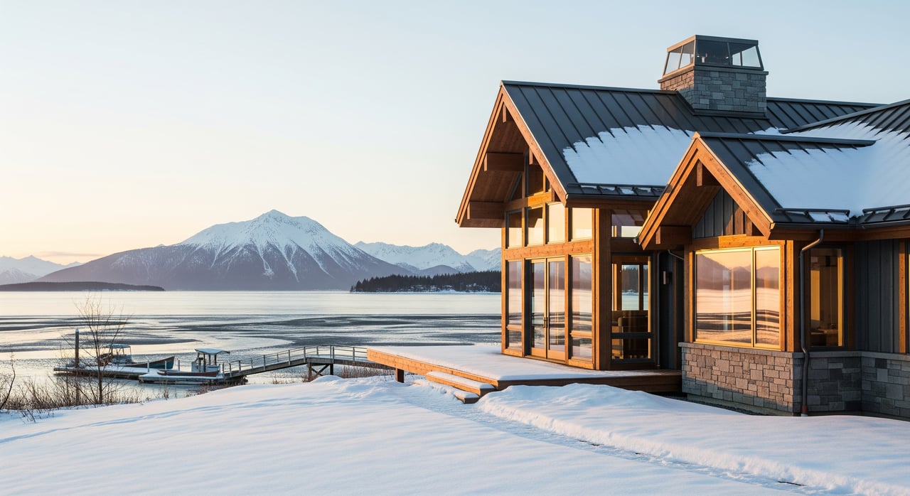
Ice and winter conditions: Floats and docks must be designed for ice pressure and seasonal freeze-thaw.
Water, wastewater, road access, and power can be more complex for coastal parcels.
Water supply: Confirm if the property uses a private well, community system, or hauled water. Request water quality tests.
Septic: ADEC rules govern siting and setbacks. Slopes, high water tables, and soils can limit options.
Roads and snow: Private roads may lack public maintenance. Review road agreements and winter access.
Power and telecom: Confirm service availability and hookup costs for remote sites.
Financing and insurance can look different for waterfront properties.
Flood zones: Check FEMA flood maps. Lenders typically require flood insurance in Special Flood Hazard Areas.
Home insurance: Premiums may be higher and coverage may exclude certain water or erosion risks. Get early quotes.
Title insurance: Expect exceptions related to tidelands and shoreline encumbrances. Review title commitments and any recorded state leases.
Appraisal: Unique features like docks, steep access, or erosion risk can complicate appraisals and underwriting.
Use this checklist to organize your research and make a confident offer.
Documents to Request
Current title report and plats showing easements, covenants, and any recorded shoreline or tideland agreements.
Full copies of ADNR tideland leases or authorizations, ADF&G permits, Corps permits, and any City or Harbor agreements.
Recent survey locating the mean high water line and all improvements.
Building permit history and any open violations.
Association bylaws that govern docks, road maintenance, or shore use.
Geotechnical or erosion assessments for bluff-top sites, plus historical aerials if available.
ADEC records for septic and water systems, including permits and inspections.
Harbor slip agreements, waitlist status, fees, and transfer rules if moorage matters.
Preliminary insurance quotes for flood and homeowners coverage.
Site Inspections and Advisors
Alaska-licensed land surveyor skilled in tidal boundaries.
Coastal geotechnical engineer for bluff stability and erosion risk.
Builder or architect familiar with local codes and shoreline conditions.
Marine contractor or harbor manager to discuss dock design and ice concerns.
Real estate attorney or title professional familiar with Alaska tideland issues.
Local real estate agent experienced with Homer waterfront transactions.
Key Questions to Ask
Where is the surveyed mean high water boundary, and how recent is the survey?
What recorded access rights lead to the shore, dock, or community facilities?
Which permits exist for any dock, float, or shoreline protection? Are they current and compliant?
Has the shoreline required stabilization? What are the observed erosion trends?
How are slip rights handled, and what are the waitlists, fees, and transfer policies?
What septic or water system upgrades will be required for your intended use?
Are there mapped habitat features nearby that could limit future modifications?
What insurance requirements and premium differences should you expect?
Buying near the water in Homer is about more than the view. It is about getting boundaries, access, permits, and risk right the first time. A local, owner-led team that knows Kachemak Bay’s shoreline, harbor rules, and neighborhood nuances can save you time and prevent avoidable surprises.
If you are weighing bluff-top views against harbor access, or you want help deciphering tideland leases and moorage options, connect with the Buss & Turkington Real Estate Team. We pair deep local roots with attentive, hands-on guidance to help you vet surveys, permits, utilities, and insurance so you can buy with confidence. Schedule a Free Consultation and let’s map out your next steps.
Stay up to date on the latest real estate trends.

Explore AHFC loans, down payment help, tax credits, and local cost factors.
Learn how ownership, access, permits, hazards, and insurance work in Homer so you buy with confidence.
Time your Homer move with a quarter-by-quarter guide to showings, pricing, and days on market.
Learn prep, staging, photos, pricing, and showing tips tailored to Alaska’s climate.
Leading with our core standards and values we approach every decision with honesty and integrity. We take great responsibility in doing the right thing because it is the right thing to do.