Leave a Message

By providing your contact information to Buss & Turkington Real Estate Team, your personal information will be processed in accordance with Buss & Turkington Real Estate Team's Privacy Policy. By checking the box(es) below, you consent to receive communications regarding your real estate inquiries and related marketing and promotional updates in the manner selected by you. For SMS text messages, message frequency varies. Message and data rates may apply. You may opt out of receiving further communications from Buss & Turkington Real Estate Team at any time. To opt out of receiving SMS text messages, reply STOP to unsubscribe.

Thank you for your message. We will be in touch with you shortly.

Explore Our Properties

Homer Neighborhoods And Micro-Areas Explained

February 12, 2026

Trying to decide where to plant roots in Homer? From walkable downtown streets to ridge-top views and lakefront acreage, each micro-area offers a different lifestyle, cost profile, and set of practical considerations. If you understand how terrain, utilities, and access vary across town, you can shop with confidence and avoid surprises later. This guide breaks down Homer’s core micro-areas and gives you a clear checklist for due diligence, including which maps and records to review. Let’s dive in.

How Homer breaks into micro-areas

Homer’s small size can be deceiving. Neighborhoods only a few minutes apart can differ in lot size, utility service, winter access, and exposure to coastal hazards. You will see the most contrast between downtown and Old Town near the harbor, the elevated residential areas like Diamond Ridge and the surrounding hillsides, the Beluga Lake area, and properties adjacent to the Spit. Use the profiles below to match your priorities with the right fit.

Downtown Homer

Housing and lots

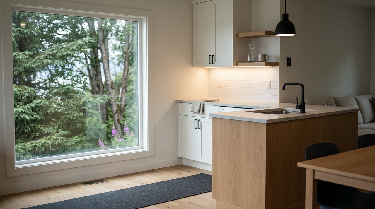
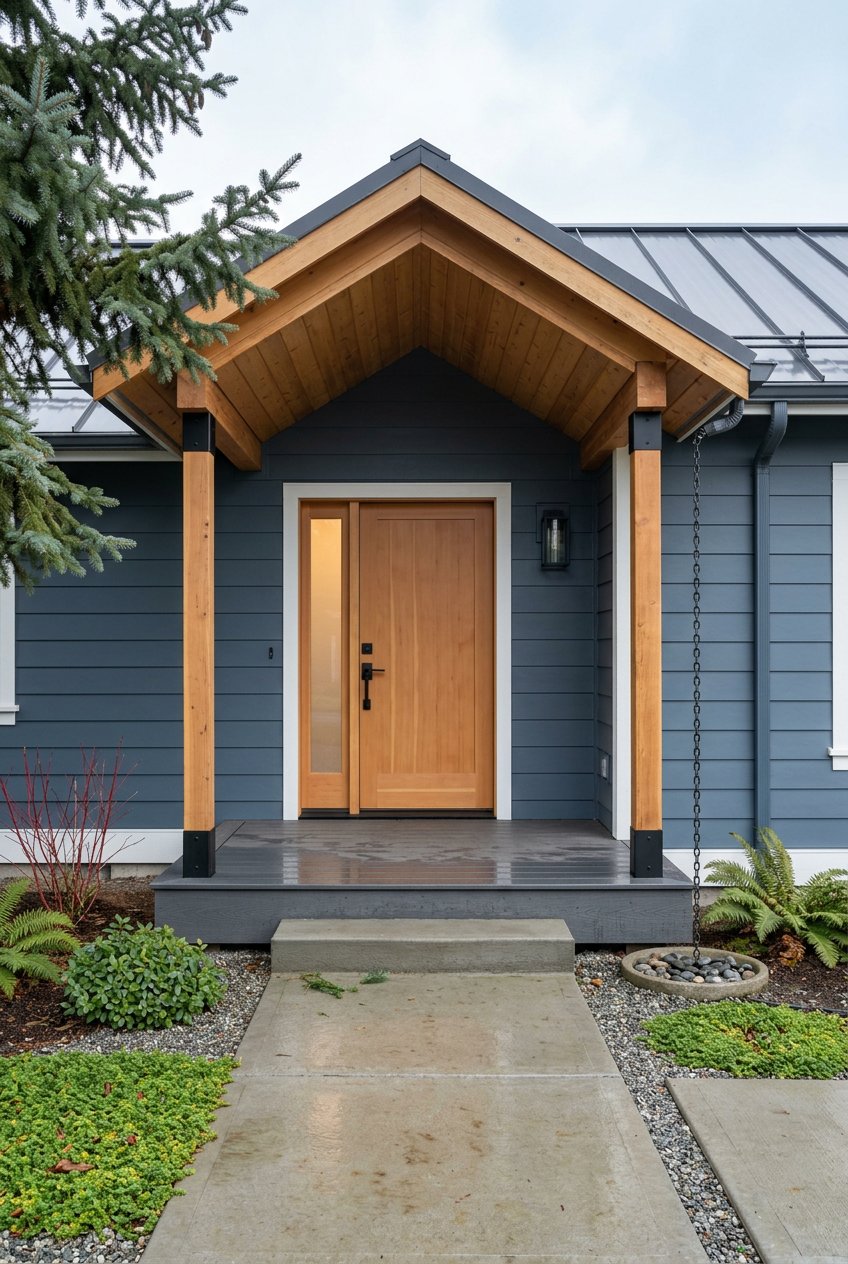
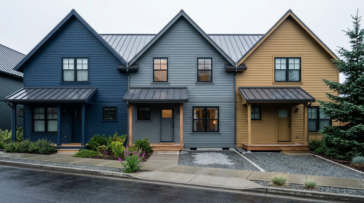
Downtown is Homer’s compact core with a mixed-use feel. You will see older single-family homes, small cottages, and some multi-family or condo-style conversions. Lots are typically smaller and more compact than outlying areas.

Utilities and access

Most central blocks are served by City of Homer water and sewer, along with maintained roads. That convenience is a big draw if you want municipal services. Parking and lot size can be constraints for projects that need more space.

Views and lifestyle

You are close to the harbor, shops, galleries, and restaurants, with more pedestrian and tourist activity in summer. Some streets capture views of Kachemak Bay and the Kenai Mountains.

Constraints to plan for

Proximity to the shore means you should review FEMA flood maps and local tsunami evacuation maps for low-lying areas. Expect more noise and commercial activity during peak fishing and tourism season.

Old Town

Housing and lots

Old Town sits near the harbor and the approach to the Spit. The housing mix includes older cottages, fishermen’s cabins, and seasonal rentals, with some properties that have mixed-use histories. Lots are often compact, and shoreline or tideland issues can come into play.

Utilities and access

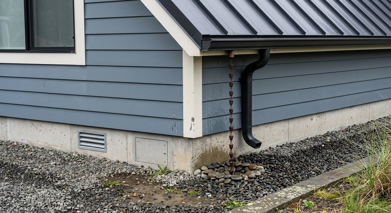
Service coverage can vary by block. Some parcels are on municipal utilities while others rely on on-site systems. Confirm service status before you make assumptions about costs or remodel plans.

Views and lifestyle

If you want quick access to boating and maritime activities, Old Town is a strong candidate. It places you right in the historic, working waterfront setting.

Constraints to plan for

Flood, storm surge, and tsunami risk are key considerations. Redevelopment on tideland or filled areas may require special permitting and environmental review.

Diamond Ridge

Housing and lots

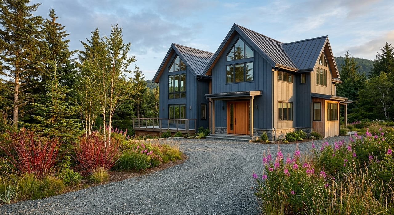
Diamond Ridge is known for wooded lots and ridge-top settings. Homes are predominantly single-family, with a mix of older cabins and newer, more contemporary builds. Parcels are often larger than downtown and can include acreage.

Utilities and access

Many homes rely on private wells and septic systems. Check which sections have access to municipal water or sewer, and understand who maintains the roads, since some are borough maintained and others are private.

Views and lifestyle

Privacy, natural surroundings, and panoramic views are the big draws. Elevated sites can offer wide vistas of Kachemak Bay and the Kenai Mountains.

Constraints to plan for

Slopes can increase construction complexity. Driveway grades, retaining needs, and soils should be evaluated, along with erosion and potential landslide risk where relevant.

Beluga Lake area

Housing and lots

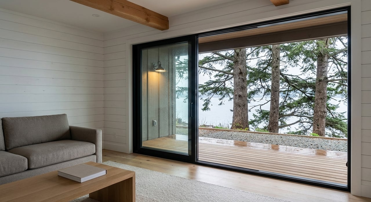
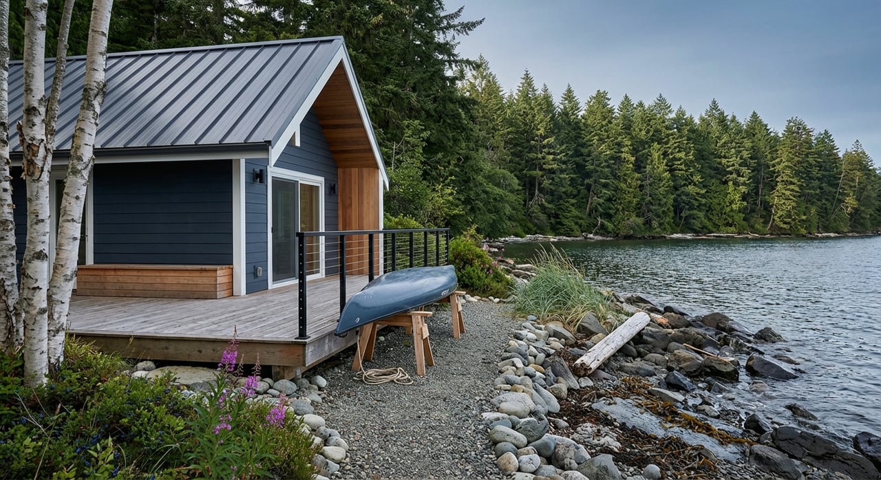
Beluga Lake and its nearby uplands have a semi-rural feel. You will find larger rural lots, lakefront cabins, and custom homes built for privacy and recreation.

Utilities and access

Most properties here use private wells and septic, with limited municipal services. Expect longer drive times to downtown compared with in-town neighborhoods.

Views and lifestyle

If you value lake and forest settings, wildlife, and space to spread out, this area fits well. Acreage is common, which can accommodate outbuildings or hobby projects subject to zoning and covenants.

Constraints to plan for

Wetlands and riparian buffers near the lake require attention to setbacks and environmental rules. Seasonal access and septic siting can be constraints, especially near shorelines and low-lying ground.

Spit-adjacent areas

Housing and lots

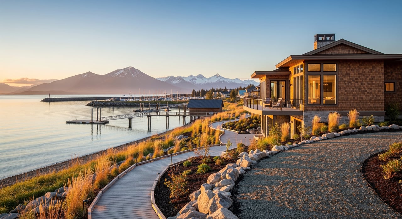
Near the Homer Spit you will see a mix of seasonal and year-round homes, fishing support buildings, rental cabins, and tourism-focused uses. Parcels are typically tight and linear, with some upland fill.

Utilities and access

Service levels vary. Some commercial stretches are well served, while others use specialized or site-specific systems. Road access is a single route to and from the Spit, which can experience seasonal congestion.

Views and lifestyle

This is prime territory for direct bay views and immediate boating access. If you want to live in the heart of Homer’s maritime scene, Spit-adjacent locations deliver.

Constraints to plan for

Storm surge and tsunami exposure are elevated here. Shoreline development and tidelands are subject to specific regulations, and evacuation routes should be reviewed before purchase.

Surrounding hillsides

Housing and lots

East Hill, West Hill, and nearby slopes offer higher-elevation neighborhoods with dispersed housing. Newer custom homes and larger parcels are common, along with smaller platted lots on some hill streets.

Utilities and access

Many hillside parcels use private wells and septic. Verify power line access and who maintains the road, which may be the city, the borough, or a private association.

Views and lifestyle

Hilltop and slope locations can deliver sweeping views of Kachemak Bay and the Kenai Mountains. The tradeoff is often more winter maintenance and careful planning for access.

Constraints to plan for

Steepness, drainage, and potential erosion or landslide risk should be reviewed. Turn-around space for snow removal and emergency access can also affect feasibility.

How to match your priorities

Use this quick framework to narrow your search based on what you value most:

  • Walkability and municipal services
    • Strong fits: Downtown, Old Town (varies by block)
    • Tradeoffs: Smaller lots, more seasonal activity, parking limits on some streets
  • Wide views and privacy
    • Strong fits: Diamond Ridge, Surrounding hillsides
    • Tradeoffs: Private well and septic, slope and driveway planning, winter maintenance
  • Boating and waterfront access
    • Strong fits: Old Town, Spit-adjacent areas, some Downtown blocks
    • Tradeoffs: Higher exposure to coastal hazards, specialized permits for shoreline work
  • Acreage and room for projects
    • Strong fits: Beluga Lake area, Surrounding hillsides, parts of Diamond Ridge
    • Tradeoffs: Longer drives, private infrastructure, potential wetlands or septic constraints
  • Quieter residential feel near town
    • Strong fits: Diamond Ridge, Surrounding hillsides close to city limits
    • Tradeoffs: Fewer walkable amenities, variable road maintenance

Due diligence checklist for Homer buyers

Before you make an offer, confirm the items below. These factors can determine feasibility, long-term costs, and insurance or loan options.

  • Water and sewer
    • Verify whether the property is served by City of Homer water and sewer. If not, plan for a private well and septic, and check Alaska Department of Environmental Conservation records for septic permitting history.
  • Power and fuel
    • Confirm grid availability and the heating system on site, which may include oil, propane, diesel, or wood. Ask about delivery logistics in winter.
  • Internet and phone
    • Coverage varies. Central areas can have better wired options, while satellite or fixed wireless may serve outlying parcels. Confirm with local providers.
  • Road jurisdiction and maintenance
    • Identify whether the access road is city maintained, borough maintained, or private. Private roads may require maintenance agreements and can affect winter access.
  • Flood and tsunami exposure
    • Review FEMA flood maps and local tsunami evacuation maps, especially for downtown, Old Town, harborfront, and Spit-adjacent properties.
  • Soils, slope, and drainage
    • For Diamond Ridge and hillside lots, request soils and engineering reports for building, driveway design, and septic siting. Evaluate erosion and landslide risk.
  • Wetlands and shorelines
    • Lakefront and lowland parcels may be subject to state or federal wetland rules and riparian setbacks that reduce buildable area.
  • Seismic considerations
    • Alaska is seismically active. Check building code compliance and consider earthquake retrofit needs in older homes.
  • Zoning and permitted uses
    • Confirm zoning district, density, and whether uses like short-term rentals or mixed commercial activities are allowed.
  • Covenants, plats, and easements
    • Pull recorded plat notes and any CC&Rs that may regulate outbuildings, exterior finishes, or rental activity. Review easements and road widths.
  • Financing and insurance
    • Septic and well properties are financeable with many lenders, but standards vary. Flood or tsunami zones can affect loan terms and require flood insurance.

How to use maps and records like a pro

Follow these steps to evaluate any parcel in Homer before you tour or write an offer:

  1. Check the City of Homer GIS or Kenai Peninsula Borough Assessor maps to confirm whether the parcel is inside city limits and to identify the zoning district and lot size.
  2. Open the city’s infrastructure layers to verify city water and sewer service or to see proximity to mains if future connection is a goal.
  3. Review FEMA flood maps and local tsunami evacuation maps to assess coastal flood risk and evacuation routes, especially near the harbor and the Spit.
  4. Confirm road jurisdiction and access. Note whether the road is city, borough, or private, and look for recorded maintenance agreements on private roads.
  5. Pull the recorded plat and any covenants from borough records to learn about setbacks, easements, and restrictions that may affect building plans.
  6. Search ADEC septic records and ask for well logs or recent pump test results. For undeveloped lots, plan for percolation testing and septic design.
  7. Use USGS and Alaska Earthquake Center resources to review topography, slope, and seismic context. On hillside parcels, consider a soils or geotechnical consultation.
  8. Verify utility and broadband availability with local providers, since coverage can change and often varies street by street.
  9. Review assessed value and tax history on the borough assessor site as a baseline, then rely on recent MLS sales for comps that account for view, waterfront, and acreage.

Work with a local guide who knows every micro-area

Homer’s beauty comes with technical details that matter for your lifestyle and budget. When you pair on-the-ground knowledge with the right maps and records, you can move quickly and confidently. If you want a clear plan for comparing neighborhoods, understanding utilities and hazards, and timing your purchase around inventory cycles, we are here to help.

Reach out to the Buss & Turkington Real Estate Team for a friendly, no-pressure conversation about your goals. We bring deep local roots, modern marketing, and hands-on service to every search. Schedule a Free Consultation.

FAQs

Which Homer areas offer the best bay and mountain views?

  • Higher-elevation parcels on Diamond Ridge and the surrounding hillsides typically deliver the widest views of Kachemak Bay and the Kenai Mountains. Some downtown and Spit-adjacent properties also offer direct bay views.

Where in Homer is municipal water and sewer available?

  • Most central downtown parcels are served by City of Homer water and sewer. Many ridge, lake, and outlying parcels use private wells and septic, so confirm service for each specific address.

Are harbor and Spit-adjacent properties at higher flood or tsunami risk?

  • Yes. The Homer Spit and some low-lying harborfront locations are within coastal flood and tsunami hazard zones. Always consult FEMA flood maps and local evacuation maps before buying.

Will a lender finance a home with a well and septic in Homer?

  • Often yes, but requirements vary. Many loan programs allow well and septic, and FHA and others have specific standards, so check with your lender early in the process.

Are there many new subdivisions or lots coming to market?

  • Homer tends to grow through incremental development rather than large subdivisions. There are opportunities, especially on larger lots outside the core, but always check platting, covenants, and septic suitability.

How does seasonality affect daily life and commuting in Homer?

  • Summer brings tourism and fishing activity, which increases noise and traffic near downtown and the Spit. Winter brings harsher weather and shorter daylight, so plan for heating needs and road maintenance when you evaluate a property.

Let's Work Together

Leading with our core standards and values we approach every decision with honesty and integrity. We take great responsibility in doing the right thing because it is the right thing to do.